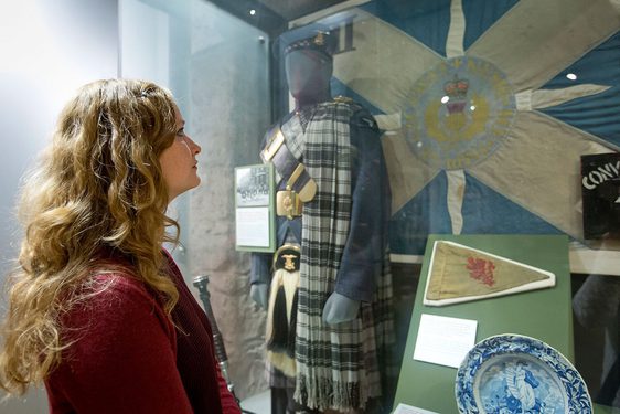
This exhibition explored the creation and use of maps during the Second World War. Visitors discovered their use through personal stories, photography, and memorabilia.
Between 1939 and 1945 over 3 billion maps were produced for the Allied, Soviet and German forces. Used to navigate the jungles of south-east Asia or for devising an escape plan, the maps that were on display are now mementoes. Maps kept alongside medals and photographs to say ‘I was there.’
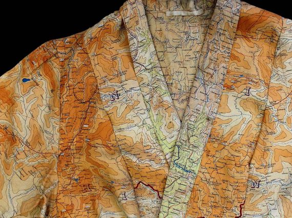
Visitors encountered aerial photography, war diaries, and even a fashionable dress made from escape and evasion maps.
The exhibition introduced us to a Prisoner of War, an RAF pilot, a Brigadier and an army chaplain through the maps they kept as a memory of their war service.
Exhibition highlights

Map of northwest Germany marked with the location of Milag Nord prisoner of war camp, from a newspaper, from a group of items associated with Gordon C. Rose. (M.2004.71.2).


Brigadier Norman Macdonald at his desk at HQ Infantry School, Mhow. (M.2003.126.23).
You might also like
See and do
Explore over 400 years of conflict through a unique collection of military objects, artwork and personal stories.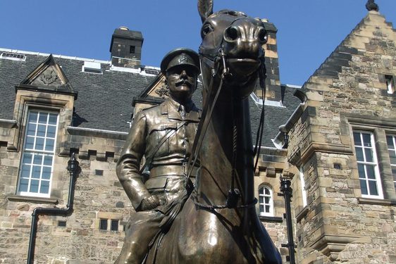
School visits
If you're studying war, the military or conflict, a visit to the National War Museum can be a unique and exciting experience for your pupils.